
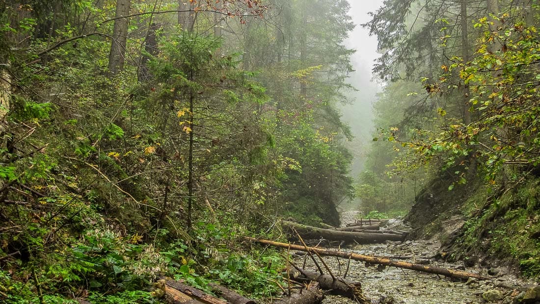


Improving integrated environmental management capacities of protected area administrations and other public sector entities dealing with the protection and sustainable use of natural resources.
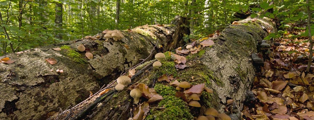
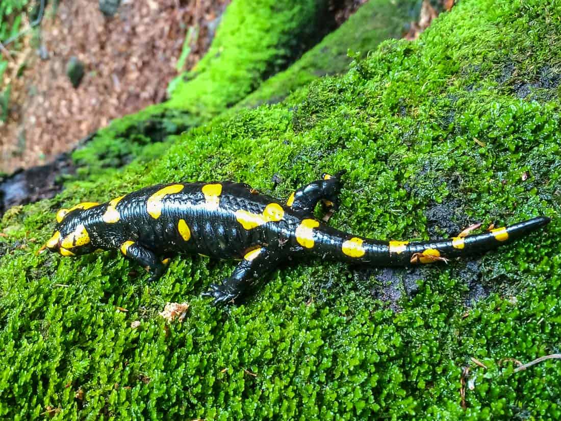
Reconciling and linking the conservation of biological and landscape diversity to sustainable local socio-economic development
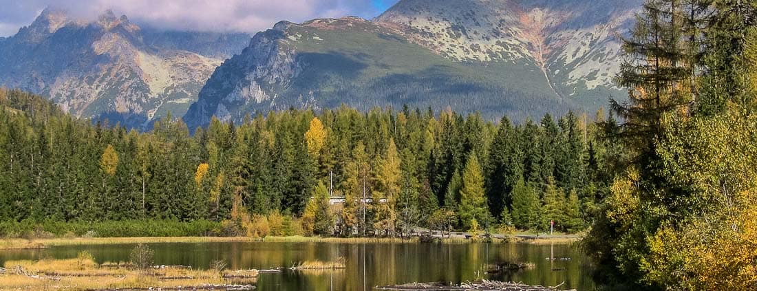
Promoting the Carpathian Network of Protected Areas as the framework and tool for transnational collaboration between the protected areas of the Carpathian countries in the Central Europe cooperation area.
Latest Project News

Look back on the Centralparks Final Conference – We did it!
On the 23rd and 24th of March 2022, the Centralparks project held its Final Conference….

Centralparks Scribble movies published
The Centralparks team offers to take you on a quick journey, to discover five ways…

The Carpathian Ecosystem Services Toolkit is available online!
Ecosystem Services are complex and interrelated ecological systems that support life and local development recalling…